fbpx

Sydney Green Grid

NSW Department of Planning & Environment / Sydney, Australia

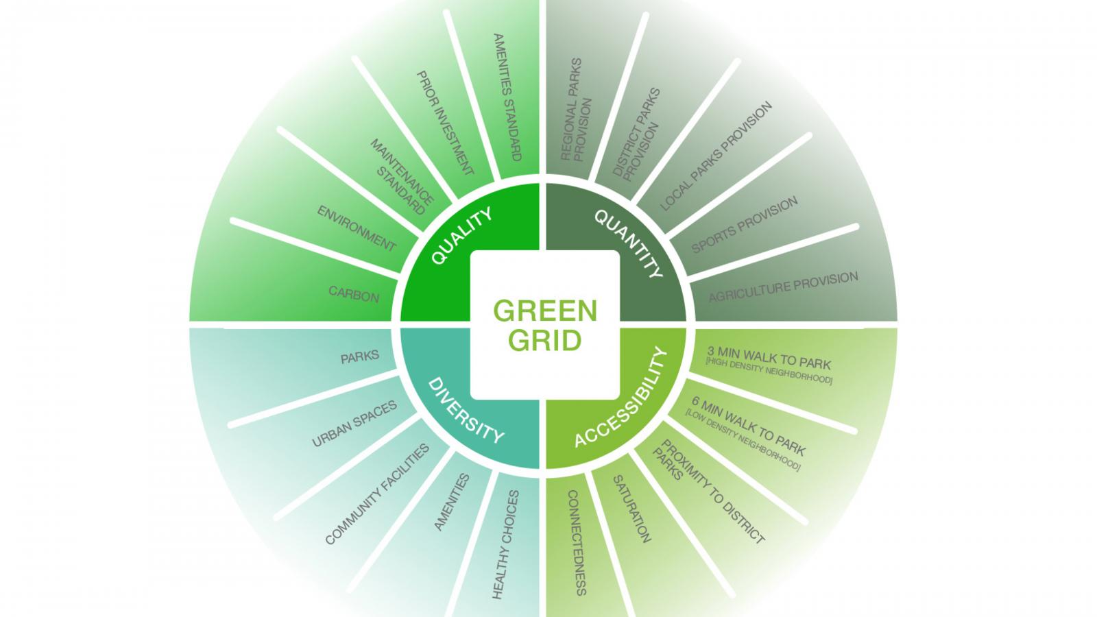
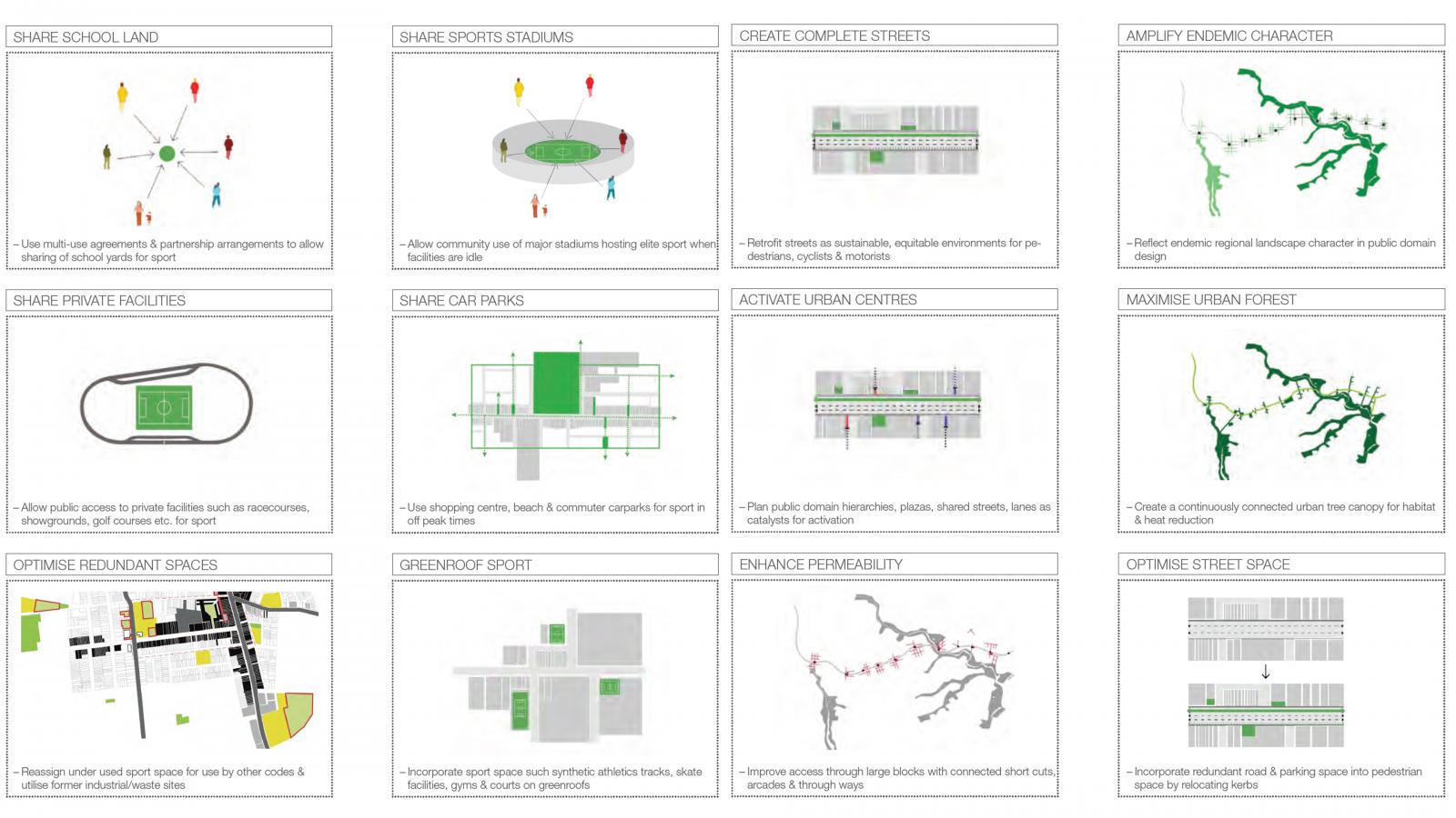
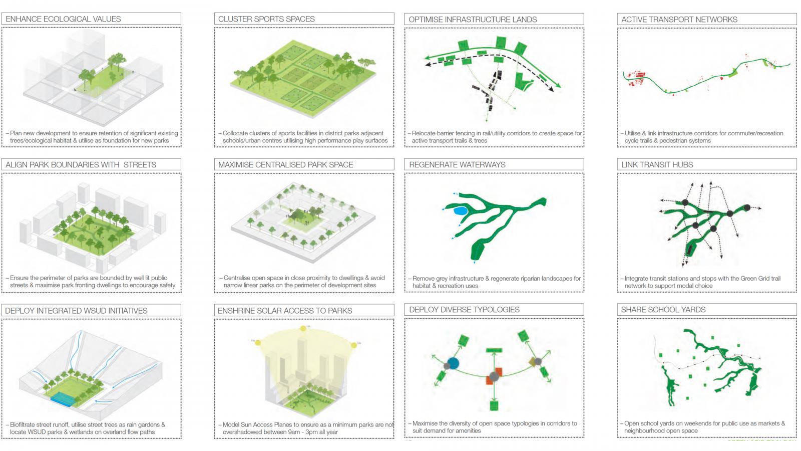
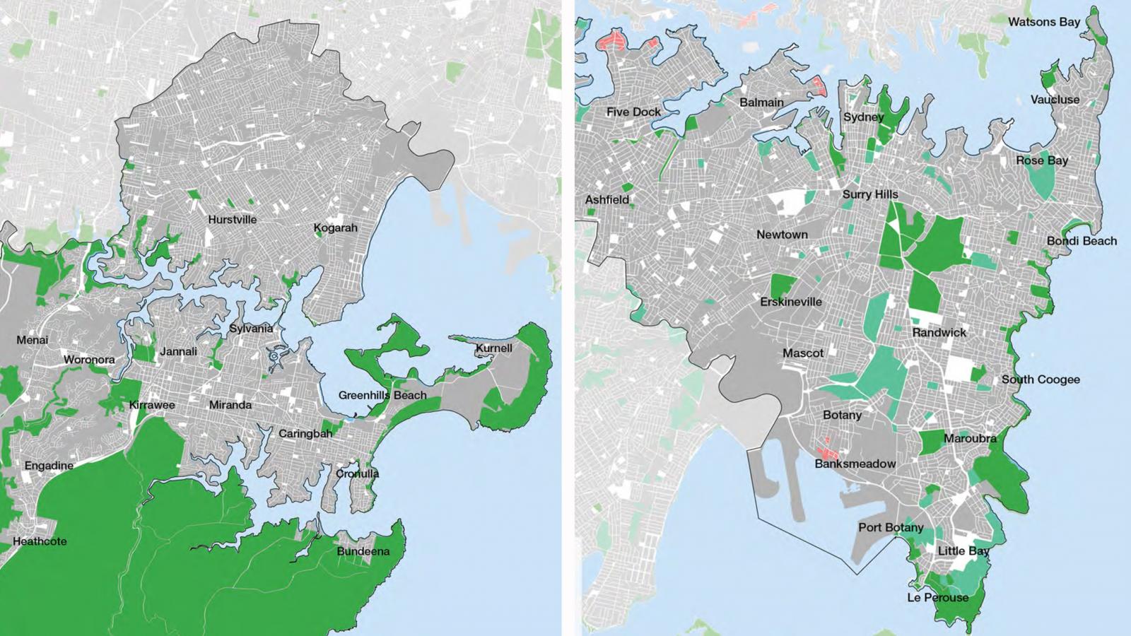
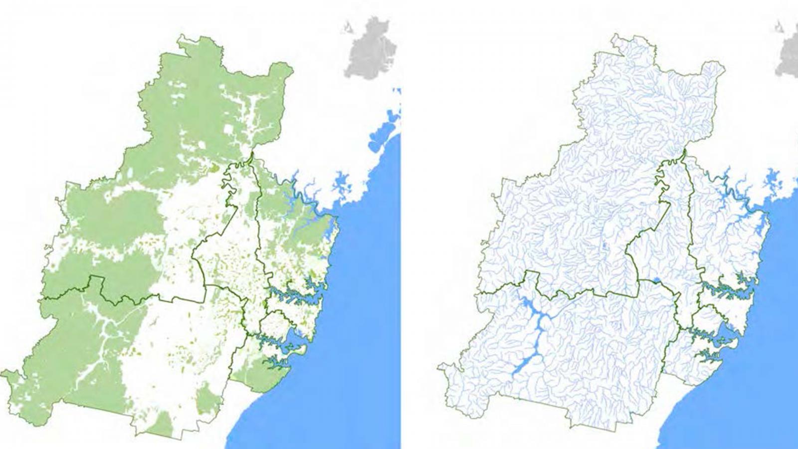
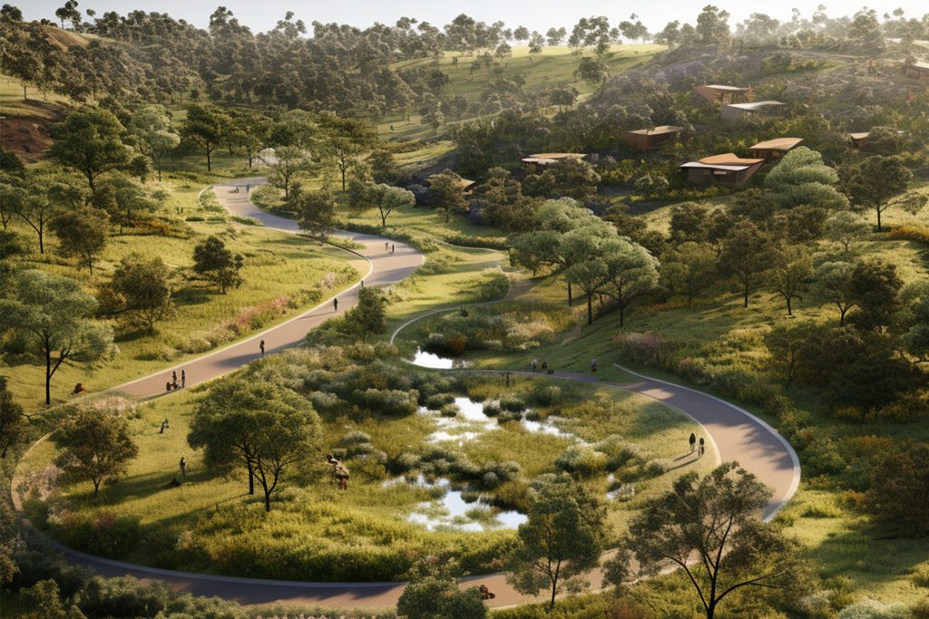
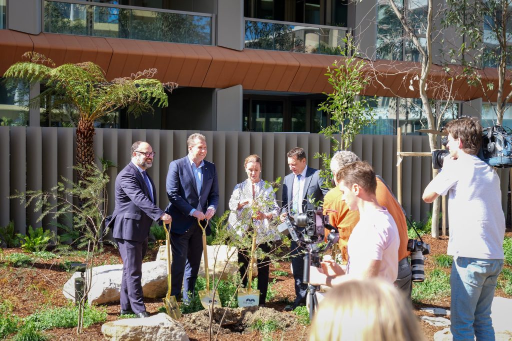
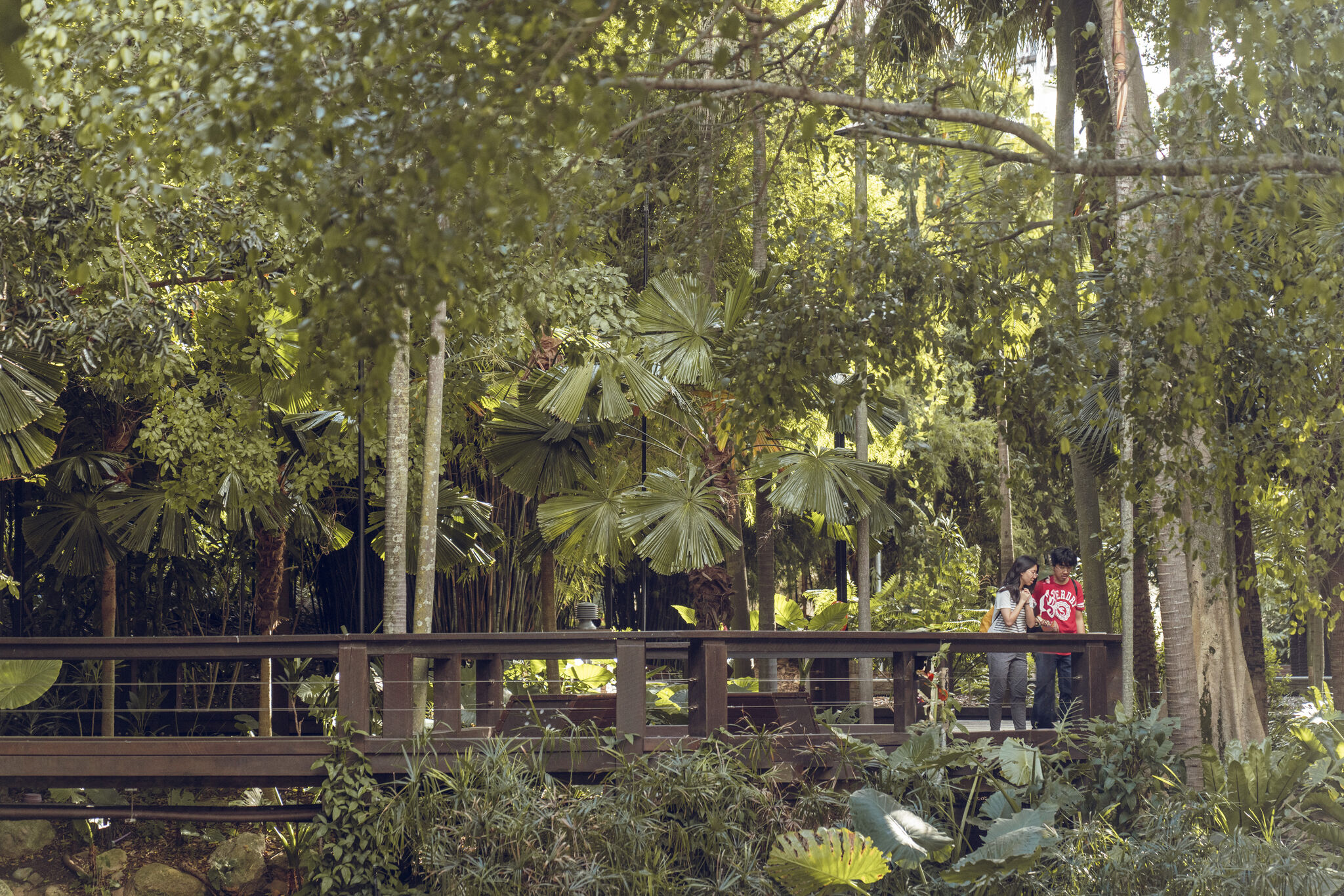
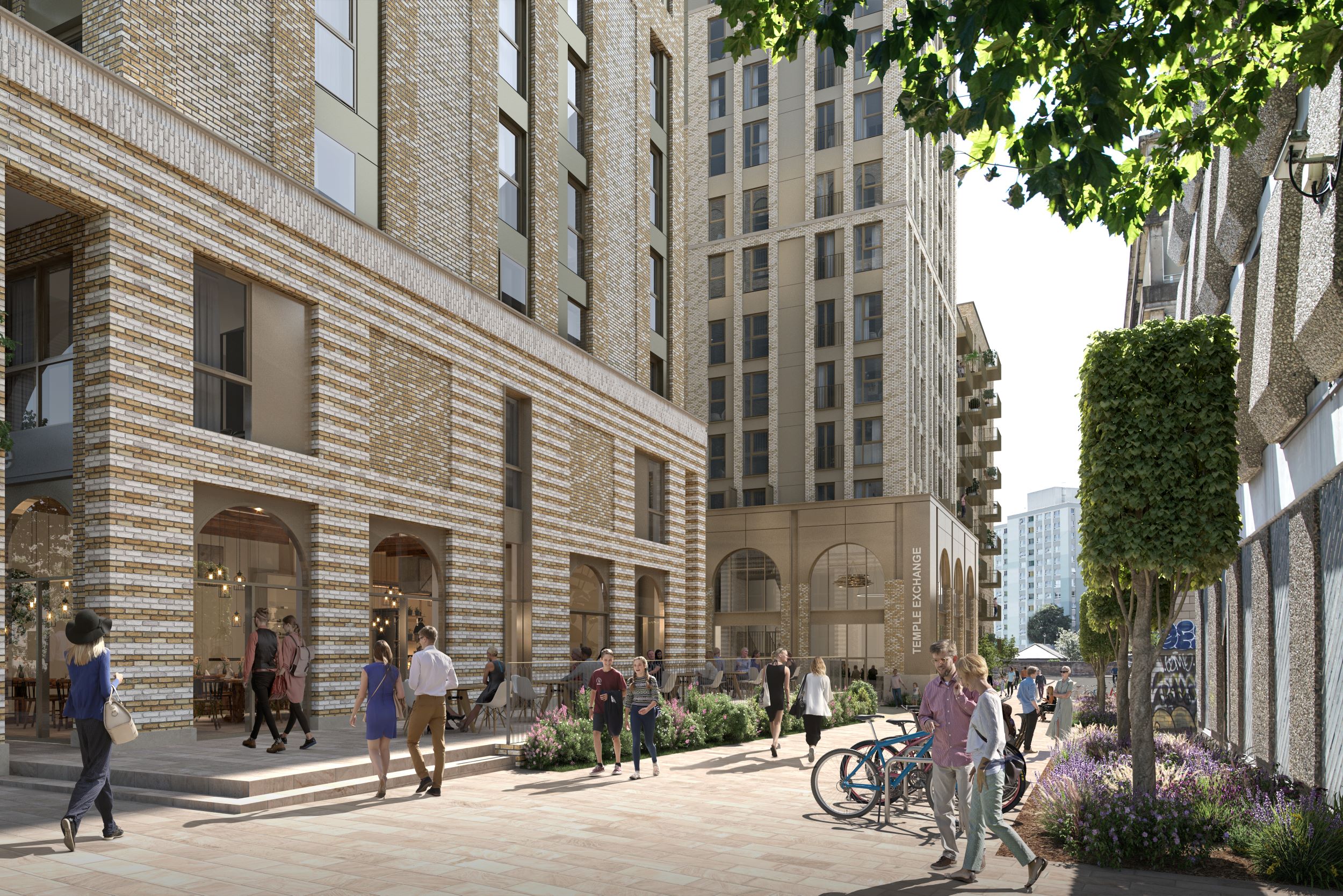
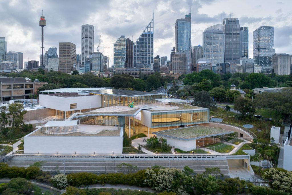
A vital contribution to the sustainable development of the city, the Green Grid formulates a framework for the enhancement and integration of open space throughout metropolitan Sydney. It proposes a network of high-quality open spaces, to improve and maximize quality of life and wellbeing. This network includes the full range of open spaces: from national, regional and local parks, through the harbour, wetlands, rivers, beaches and creeks to playgrounds, playing fields, golf courses and cemeteries.

Interconnected linkages are fostered within the wider public realm through enhancing creek corridors, transport routes, footpaths and cycleways. The Sydney Green Grid is the mechanism that turns policy into action to create greener, cleaner, healthier, socially cohesive and biodiverse urban environments within a connected city ecosystem for people and wildlife. It plays a key role in building in resilience measures against climate change through the aforementioned, plus through the management of stormwater, flood risk and water quality.

Site Area

1236800 ha

Services

  • Environmental Analysis + Statistics
  • Guidelines
  • Urban Design Framework
  • Water and Landscape Policy

Collaborators

  • SGS Economics and Planning Pty Ltd
  • Polaris Gis Ltd
A black and white portrait of Nadia Greatbatch, a woman with wavy, shoulder-length hair. She is wearing a textured black top, a leather jacket, and a pendant necklace. She stands against a plain background, looking directly at the camera with a neutral expression.
Talk to Nadia Greatbatch about Sydney Green Grid
Get In Touch
A circular infographic titled "Green Grid Sydney" is divided into four quadrants: Quality, Quantity, Diversity, and Accessibility. Each quadrant includes categories like environment, parks, community forests, sports provision, and access to parks within walking distance. The color gradient shifts from light to dark green across the sections.
A grid of 12 boxes each containing a diagram or map along with text detailing urban planning strategies for Sydney. Strategies include shaping school land, sports stadiums, private routes, and car parks; optimizing spaces; enhancing permeability; maximizing urban forests as part of the Green Grid initiative.
This image is a collage of diagrams illustrating zoning strategies for urban development. Each panel highlights different aspects such as enhancing ecological value, grid-based layout for optimizing infrastructure, cluster sports spaces in Sydney, and linking transit hubs through visual and textual descriptions.
Two side-by-side maps showing the suburbs of Sydney. The left map highlights suburbs mostly within the Inner West and Southern Sydney, while the right focuses on areas in the Eastern and Inner City regions. Green areas depict parks and nature reserves, with a clear grid for easy navigation.
Two side-by-side maps display a geographic region with different focuses. The left map highlights green areas that likely represent vegetation or land use, while the right map features a grid of blue lines indicating rivers or drainage systems.
Infographic titled "Sydney Green Grid Toolbox" displayed as a briefcase with three sections: Framework, Needs Assessment, and Initiatives. Each section is represented by various icons such as a gear, map, and plant. This toolbox outlines steps for identifying and assessing green initiatives.

More Projects