Campbelltown City Council appointed McGregor Coxall to lead Campbelltown-Macarthur CBD’s transformative masterplan in support of a growing community in transition, including the delivery of a 3D Digital Twin.
The masterplan will bolster Campbelltown’s lifestyle offering at a time of significant Sydney-wide growth, building on the wealth of existing regional strategies including the Reimagining Campbelltown City Centre Masterplan.
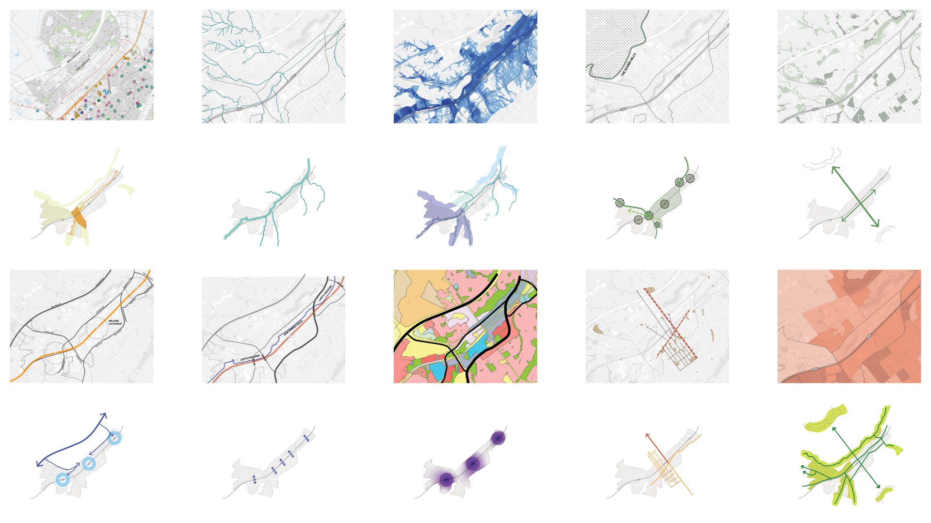
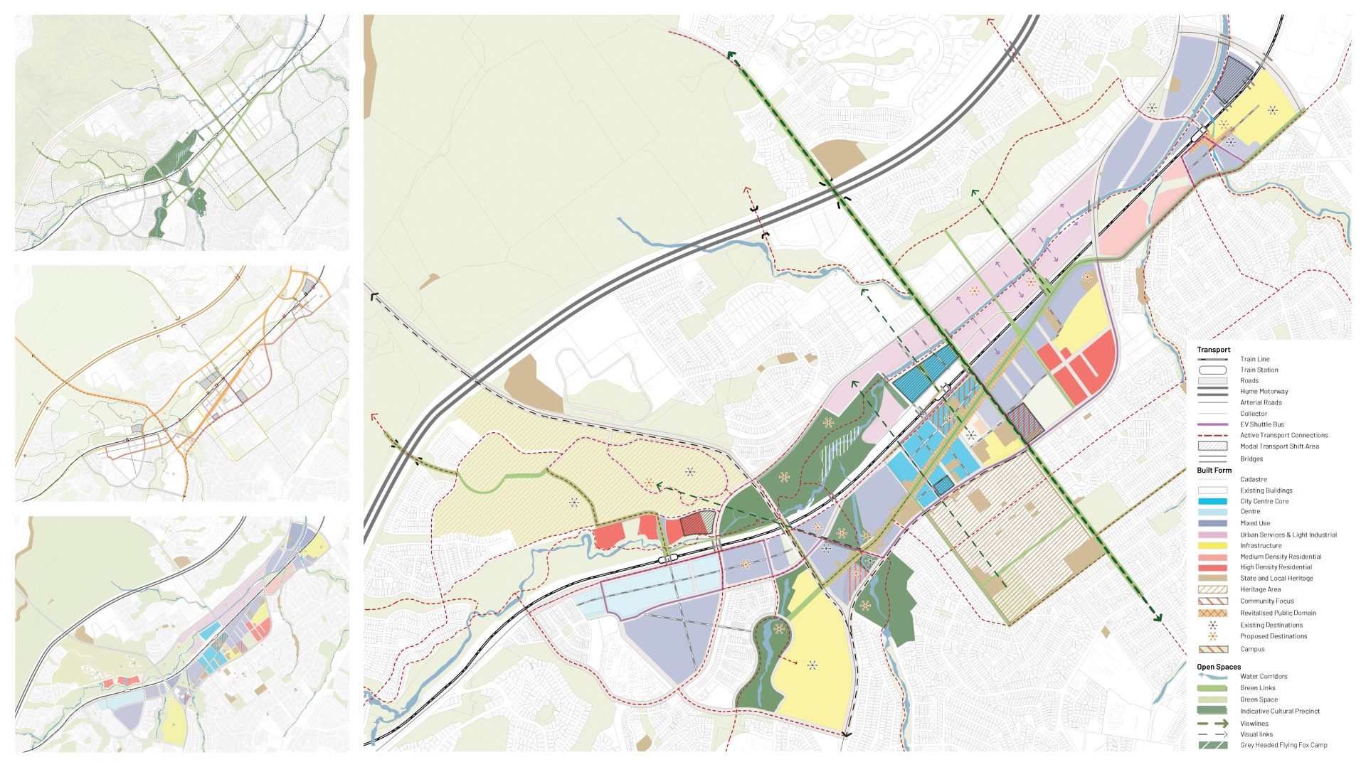
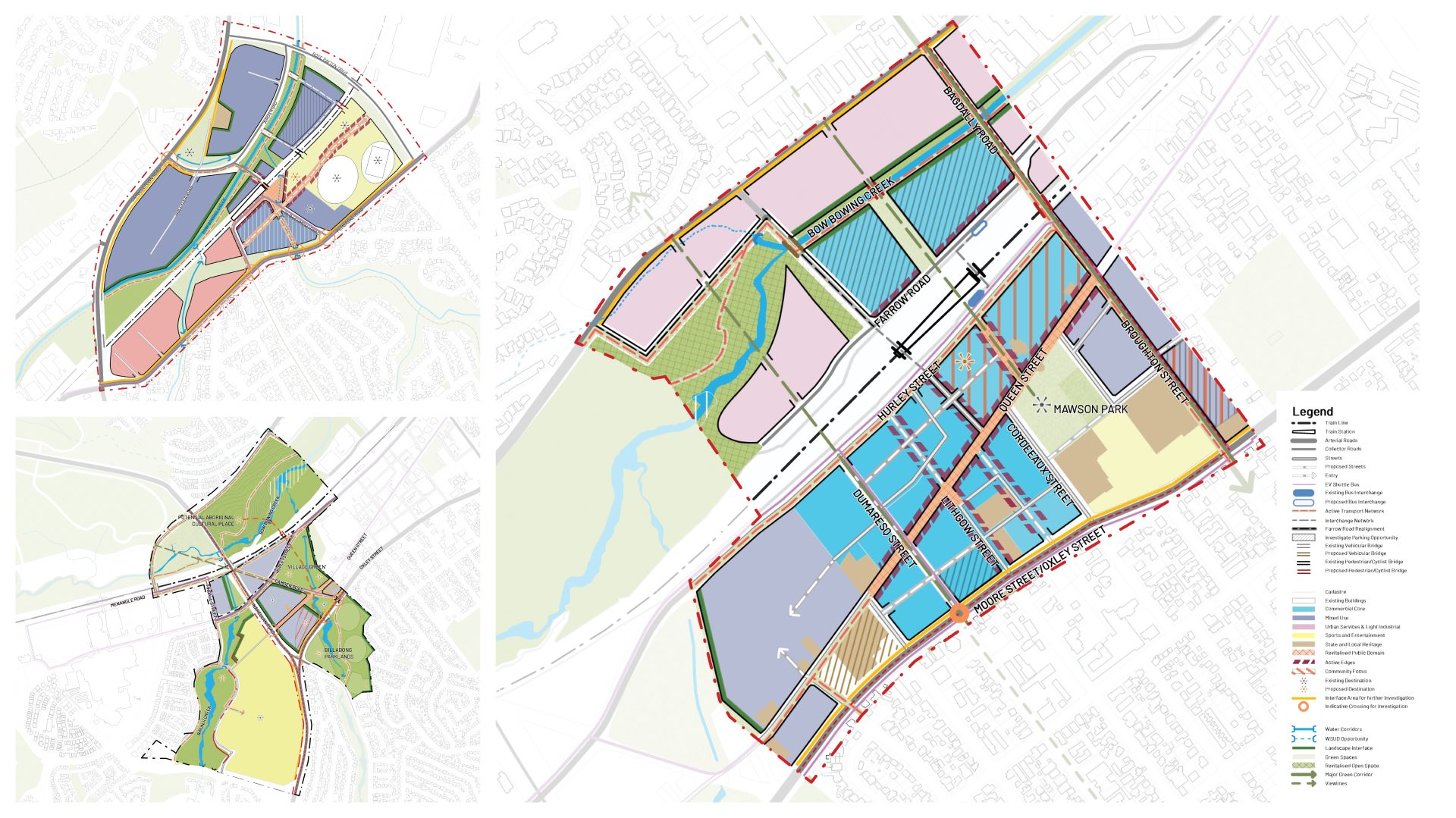
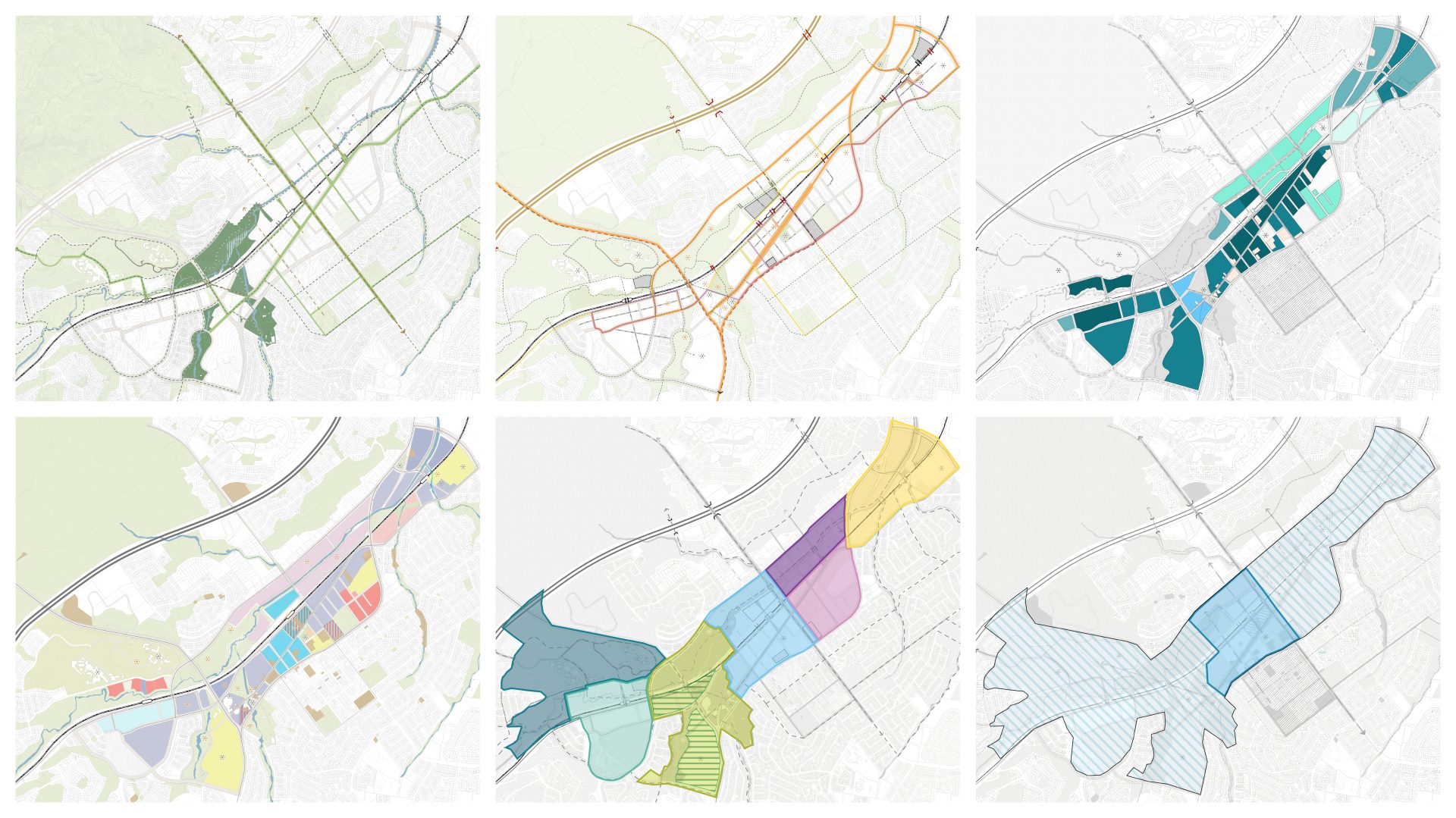
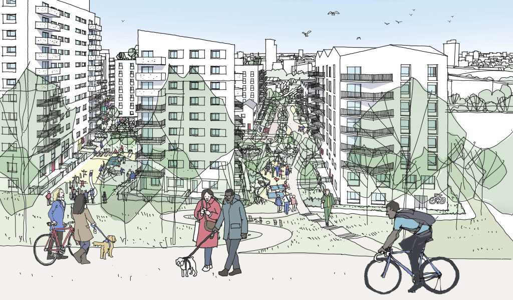
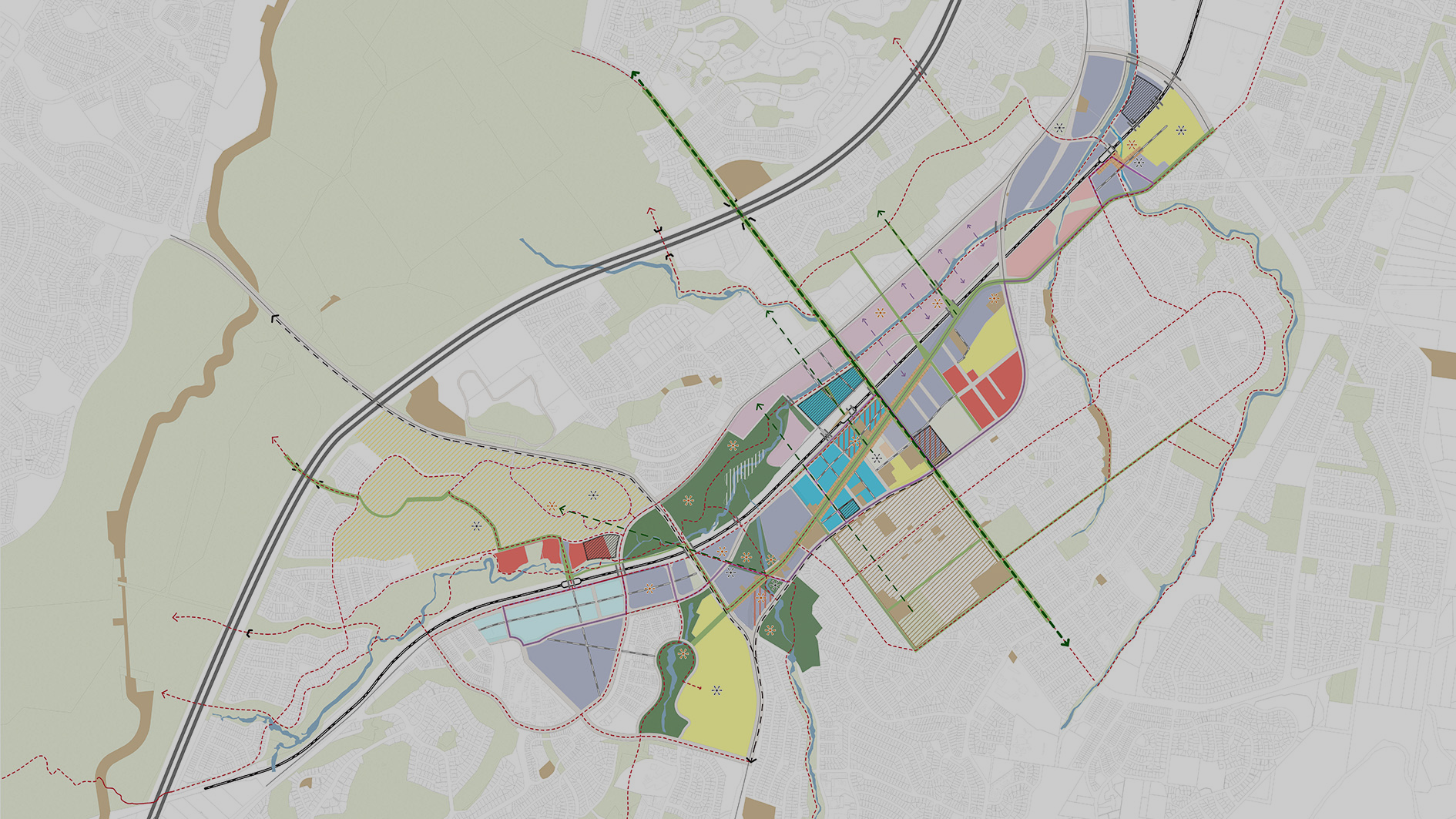
Through a structure planning process, the Framework analysed and considered key elements of Council’s strategic growth pillars in order to provide built form, land use, environmental, heritage, social and economic planned outcomes. This allowed Council to identify opportunities for development, built form intent and quality public domain outcomes, which will then be translated into design guidelines to be incorporated into planning instruments. As a result, Council were able to refine their Reimagining Campbelltown document, guiding growth and investment in the City Centre over the next 20 years. Focussing on the unity of three major precincts: Campbelltown CBD, Macarthur Health and Innovation District, and Leumeah Live, integrations of mobility, development, and a greater focus on public realm and placemaking investment will promote positive transformations to the city centre over the next 20 years.
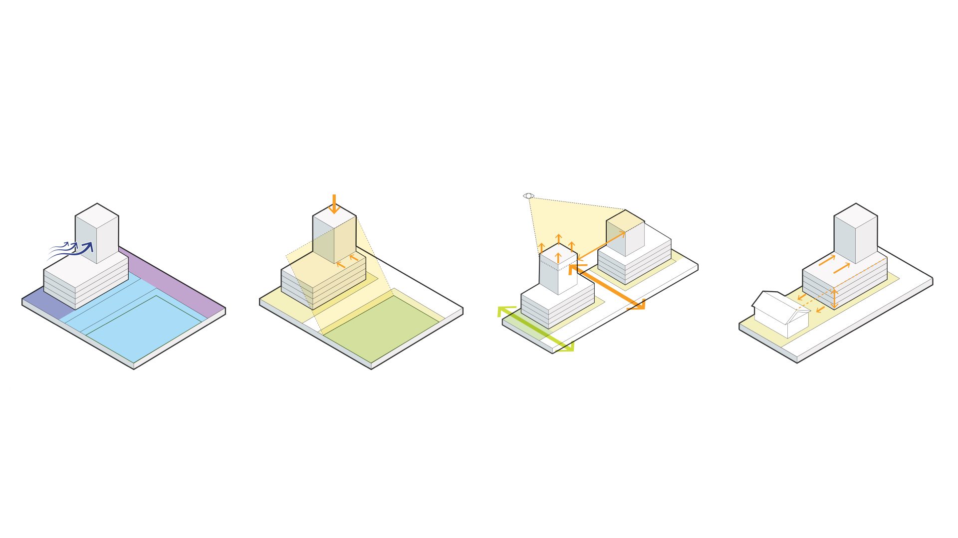
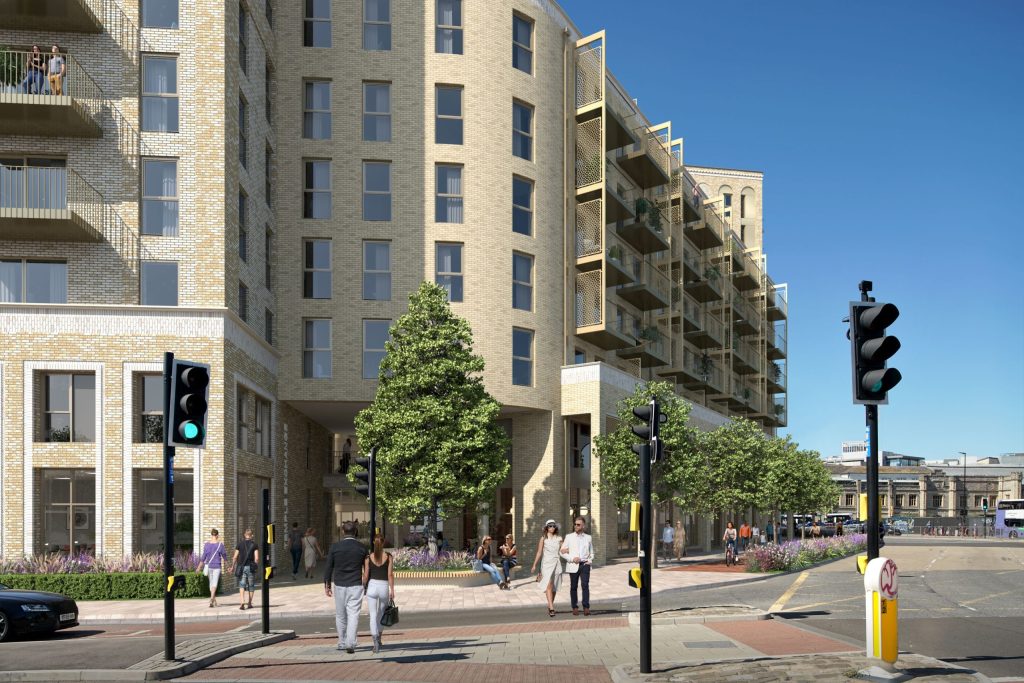
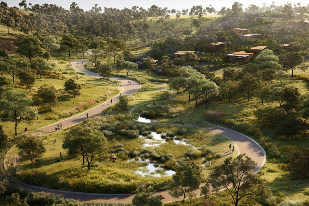
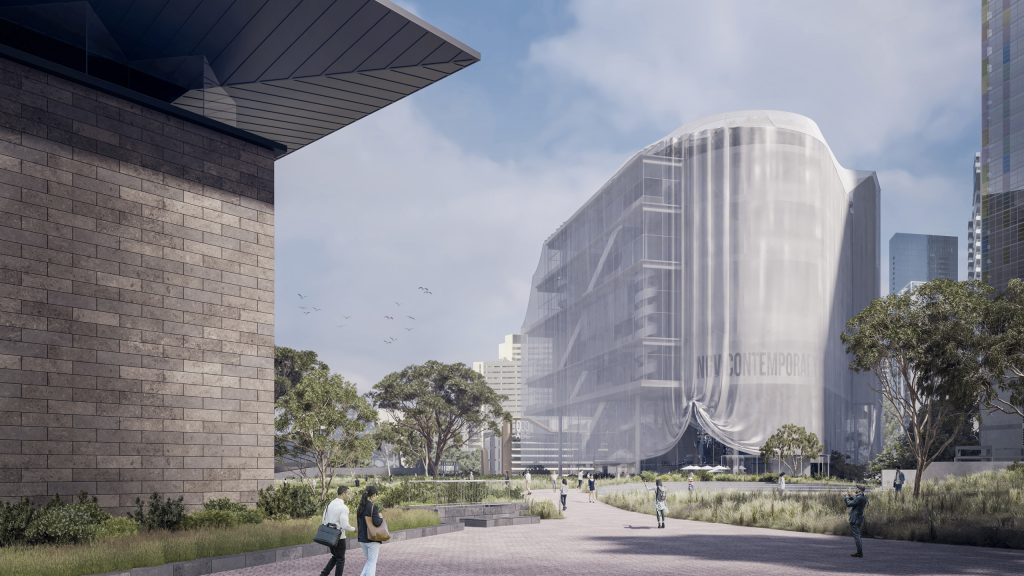
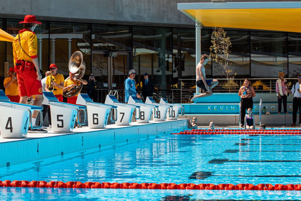
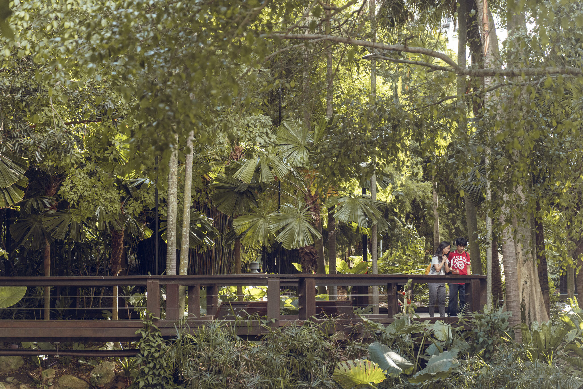
A key focus for the city centre will be walkability – giving the streets back to the people and making sure that cars take a backseat to active transport and shared public greenspace. Capturing scales of built form, there is a unique opportunity for diverse mixed use and residential typologies that can activate the city economy around the clock. A series of strategic interventions within the town centre will support uplift appropriate to the underlying fabric of the city.
Campbelltown 3D Model:
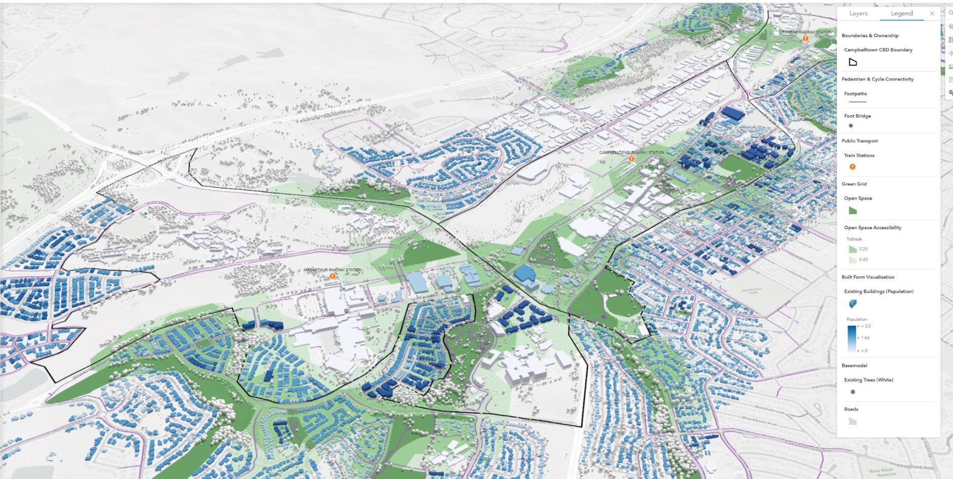
Contributing to the ongoing effort for Councils in Greater Sydney towards adopting digital twin technologies, the project scope included the delivery of a data-driven urban management platform that visualises key liveability and resilience indices in real time, a Digital Twin. The 3D model of the city centre from Macarthur Square to Leumeah will provide a live visual perspective of proposed developments. The model will also support scenario planning and provide impact assessments for future proposals. Integrations of mobility, development, and a greater focus on public realm and placemaking investment promote positive transformations to the city centre over the next 20 years.
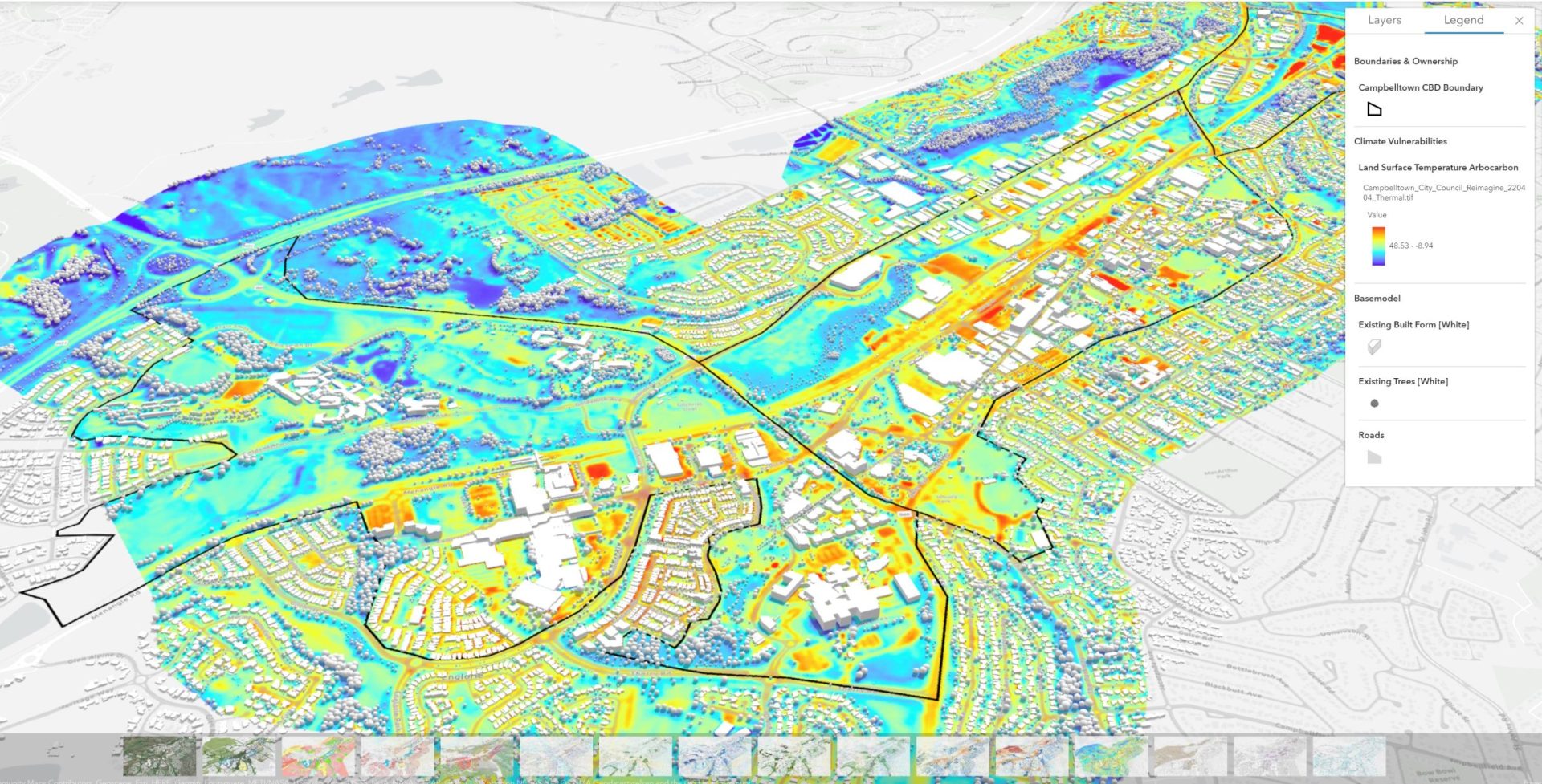
A master plan that outlines the vision and actions for transforming the Campbelltown city centre into the capital of opportunity and culture for the Macarthur region, Reimagining Campbelltown is bolstered by the Digital Twin capabilities which can assess the cause and effects of urban heat, connectivity, urban growth, and measure sustainability targets.
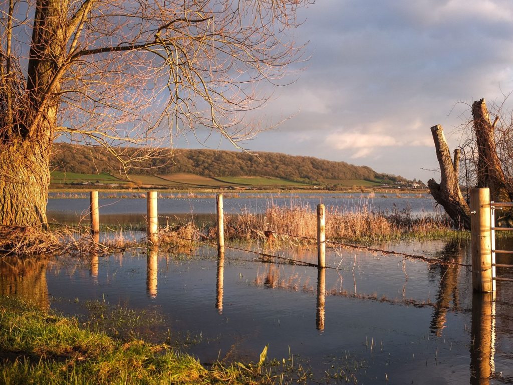
As critical measures of liveability in modern cities, flood management and environmental planning is core to the masterplan response. Alongside a progressive Council, the design approach seeks to create opportunities for a paradigm shift in the way cities are developed from an infrastructure and development perspective. Made possible via the 3D City Model, adopting more innovative civic infrastructure technologies will help mitigate a number of impacts on communities including flooding and urban heat island effect.
Year |
2023 |
|---|---|
Site Area |
50ha |
Services |
|
Collaborators |
|