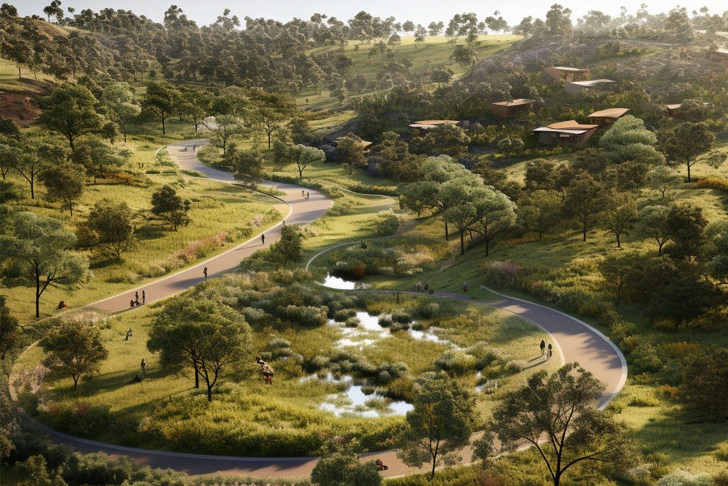
Hossein is a highly qualified Senior Geospatial Scientist with 17 years’ academic and industry experience. He has designed, developed, and implemented several GIS-based methodologies to assess natural and built environments for resilient urban planning, natural hazard detection, and blue-green grid (renaturalised) infrastructure creation through the unique combination of GIS, remote sensing, and Artificial Intelligence (AI). Hossein’s research interests include spatial data-driven support systems in forest fire, flooding, urban heat island, soil erosion, and tree health assessments – publishing several ISI papers and scientific journal articles and delivering conference presentations on these topics. Hossein was named as a ‘Rising Star of Research’ by The Australian in 2021 for his research on bushfire analysis in NSW.
Expertise |
|
|---|---|
Qualifications |
|
Contact |
Contact Dr Hossein Rizeei |