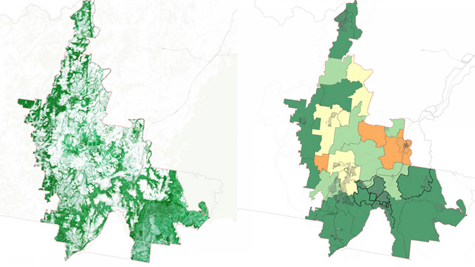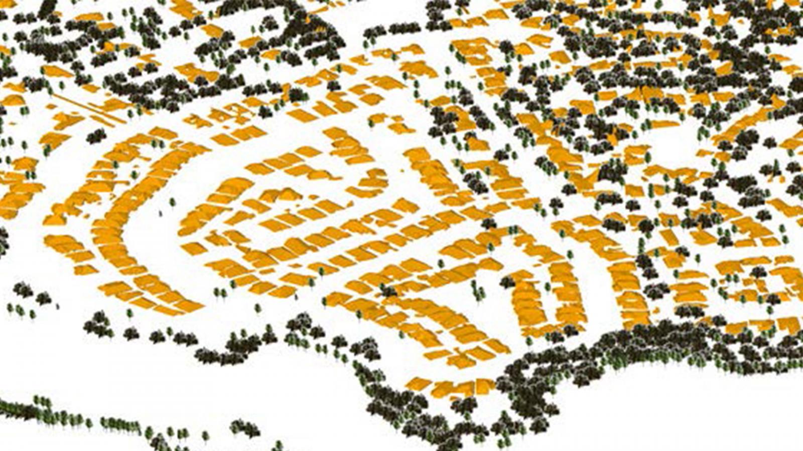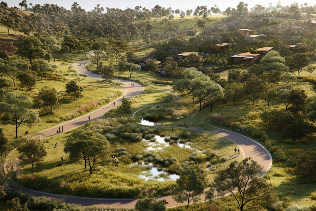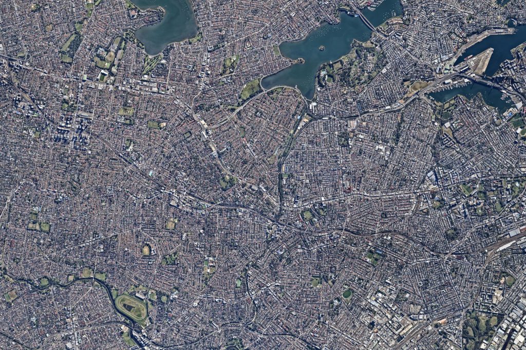
The Wollondilly Urban Tree Canopy Plan was developed in recognition of the critical role that trees play as urban infrastructure. The plan was developed to guide Council in how to protect, maintain and enhance a healthy and diverse urban tree canopy within the Wollondilly Shire, now and into the future. It focussed on establishing an understanding of the current coverage and distribution of urban tree canopy in Wollondilly, establishing tree canopy coverage targets for existing and new urban development areas within the Local Government Area. For this project, the team undertook a technical GIS and remote sensing assessment to extract the existing tree canopy coverage and associated height from Lidar point clouds. This was then used to establish a detailed canopy assessment of the canopy coverage across different landuse zones, and within public and private lands. From this assessment and a detailed review of the existing planning and policy frameworks affecting urban canopy, the team developed a suite of strategic policy and planning directions for council to consider for adoption into their local planning instruments to support a sustainable and thriving urban canopy.
Site Area |
2560000 ha |
|---|---|
Collaborators |
|