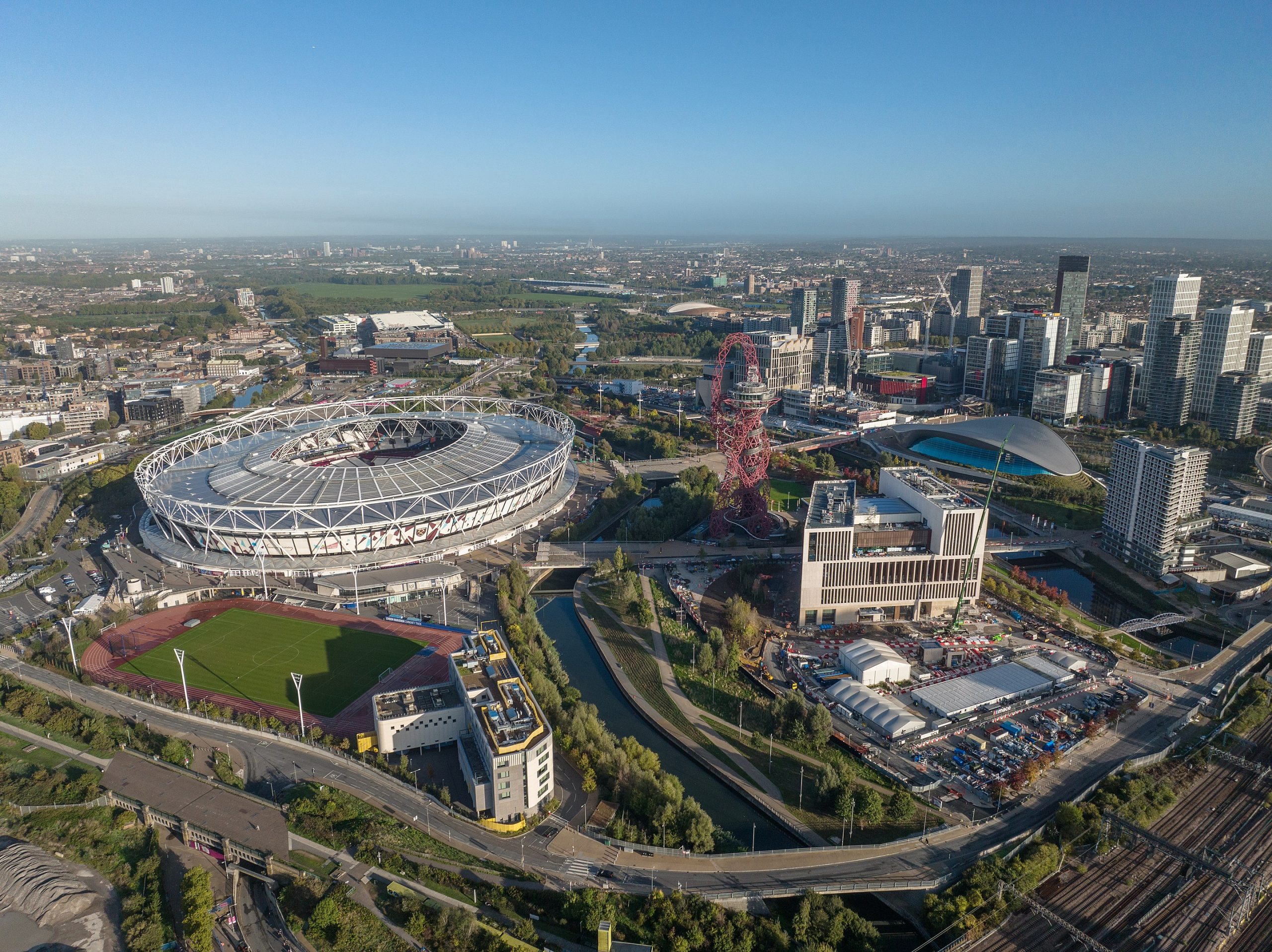
A 21st Century Visionary Blue Green Masterplan delivered by Cardiff Council and McGregor Coxall as part of a wider regeneration project.
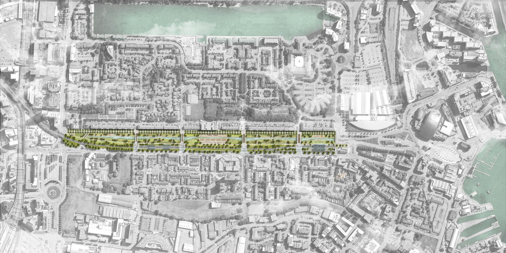
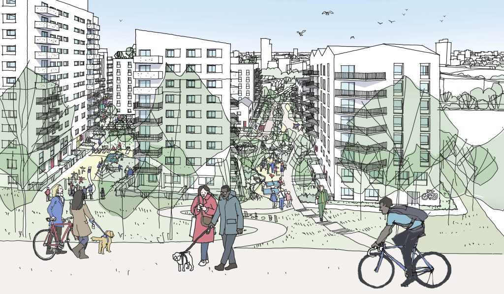
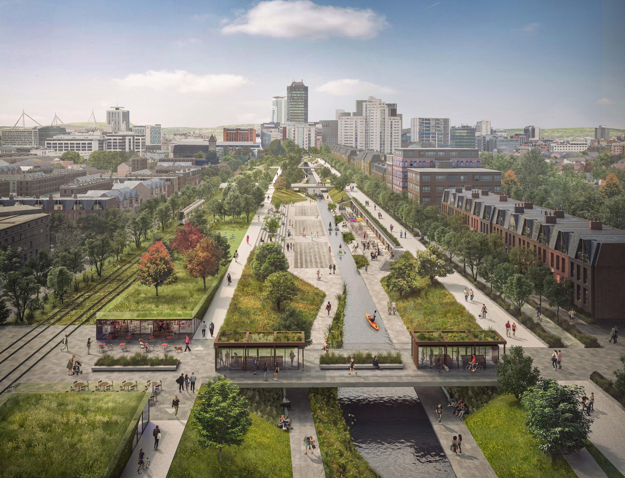
Cardiff, the capital and largest city in Wales, commissioned McGregor Coxall to design a ‘Blue Line’, a transformational grey to blue-green infrastructure project in its downtown. The concept replaces Lloyd George Avenue, an unremarkable vehicular street, with a 1km linear canal and park. The new blue-green infrastructure provides impetus for regeneration of the surrounding urban fabric by increasing healthy access to public open space, leisure activities, and water in the city centre.
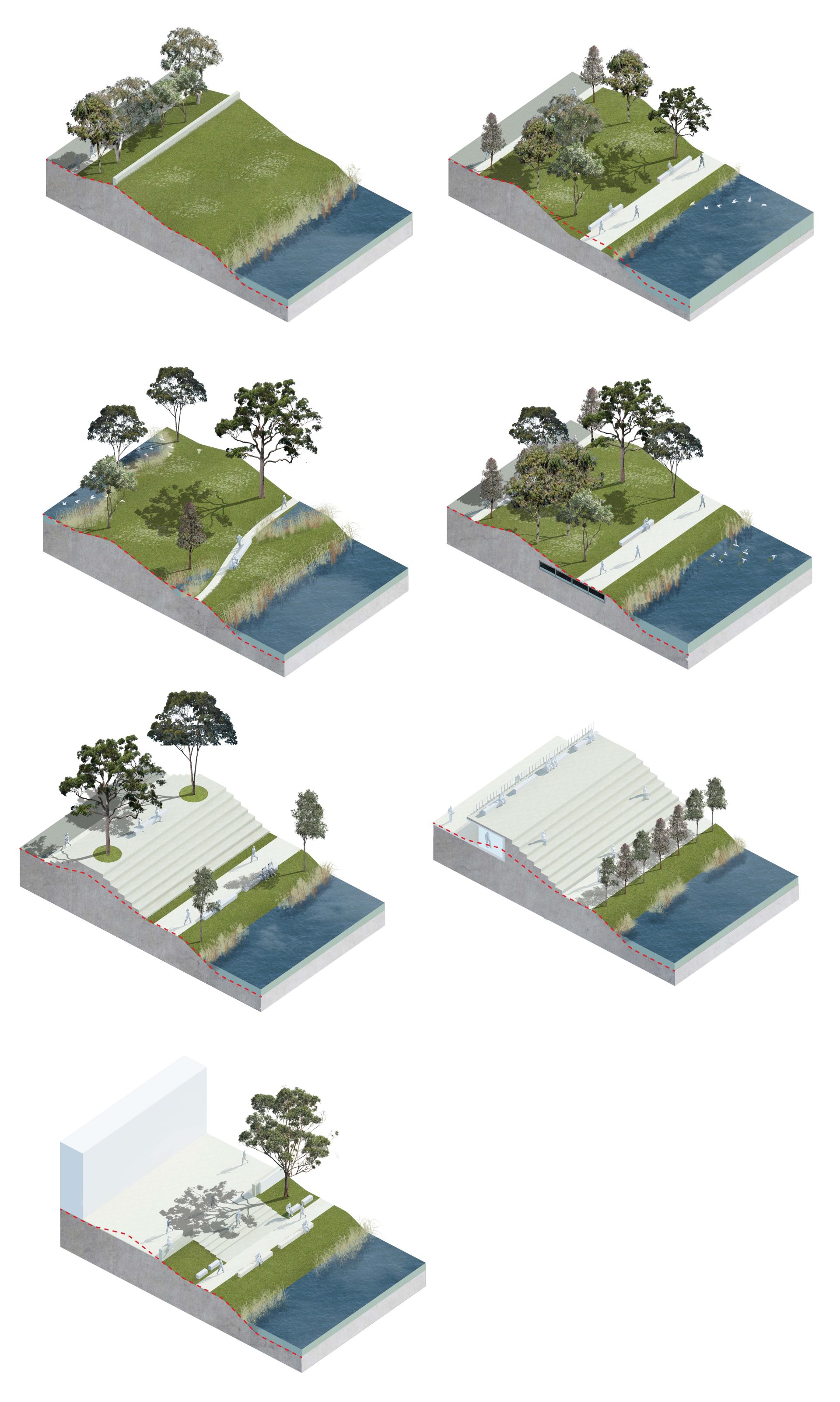
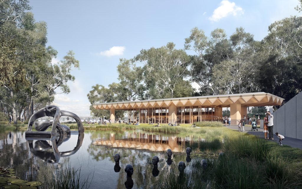
Inspired by local dockland heritage and the Bute Town ‘Water’ Square, a reinstated canal is established as the defining feature of a new meandering, linear park. The canal is located on a former waterway that was infilled for roads and reinstates ecological function to the corridor. The new canal will perform an urban water management role, improving water quality and enhancing biodiversity.
Major trees and public transport were retained, and new marine transport introduced. A significant new public domain of terraced urban steps, plazas, and artworks is proposed to encourage micro-businesses to flourish. The ‘Blue Line’ is planned to emerge as Cardiff’s 21st century central park. Four new bridges traverse the canal park, book-ended by public gathering spaces that form gateways to and from the adjacent metro line and neighbourhood.
Year |
2021-2022 |
|---|---|
Site Area |
12 ha |
Services |
|
Collaborators |
|